Rediscovering East Bloomingville:
A Half-Acre That Took Us Back to 1855

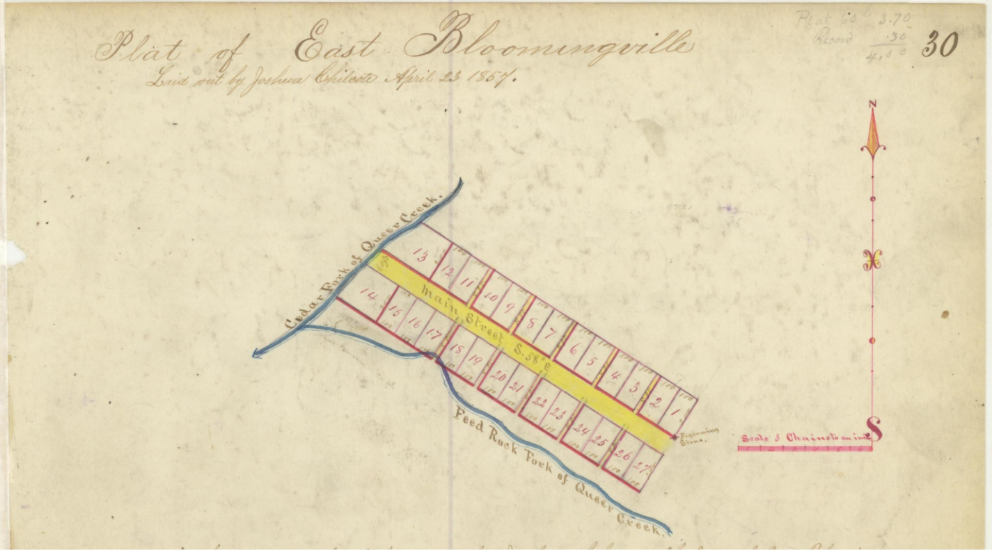
Our team recently wrapped up a boundary survey in Hocking County, Ohio, adjacent to the Village of South Bloomingville—an assignment that turned into a journey through time. The tract in question is less than a half acre, yet it demanded three full field days and countless office hours to resolve. We may very well be the first surveyors to definitively retrace its lines since the Civil War.
The property lies next to the historic town addition originally known as East Bloomingville, platted in 1855. Like many 19th-century settlements, it was organized around water power: the local mill and its mill race were integral to how the original lots and rights-of-way were laid out. Those early features still matter today; they shaped calls in the deeds, influenced how corners were set, and ultimately guided our reconstruction of the boundary.
A key thread through the survey was Queer Creek—so named because it flows opposite the direction of neighboring streams. Over the decades, the creek has been realigned, most notably through an ODOT project. Natural and engineered shifts in the channel required us to distinguish between original watercourse boundaries, accretion or avulsion scenarios, and modern relocations. Each has different implications for title and boundary.
Complicating matters further, we identified at least three historical alignments of Goose Creek Road. Each realignment corresponded with a different bridge era, leaving a breadcrumb trail of right-of-way descriptions, vacated segments, and overlapping claims. Reconciling these shifts required a careful assessment of the hierarchy of evidence.
Boundary retracement surveys such as this are a great opportunity to test one’s mettle.
Craig E. Stevenson PE, PS
Partner
O: 740-497-4432 ext. 101
C: 614-561-7961
cstevenson@harralstevenson.com

